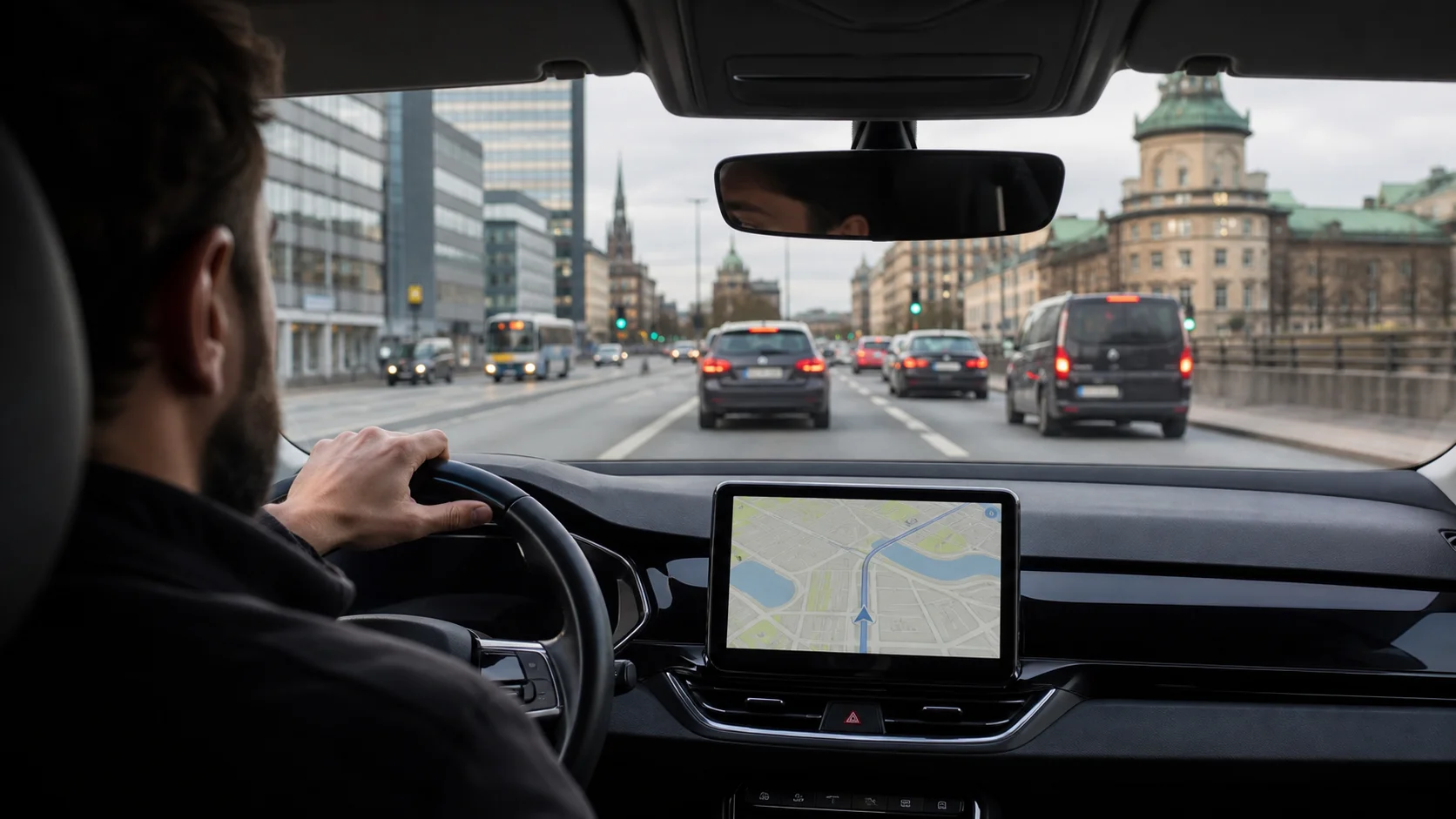
Navigation and map reading in the taxi exam – how to pass this part
TaxiTeori · 6 min read · Last updated 2026-07-28
Map scale, distance calculation and route choice – the navigation part of test 1 is pure practice. Here is how to get it right.
What navigation is in the exam
Navigation is one of the eight subjects in knowledge test 1, Safety and behaviour, and accounts for about 10 of the test's 65 questions. The questions are not about knowing a particular city by heart, but about reading a map correctly: interpreting scale, calculating distance and travel time, and choosing a suitable route. It is one of the most calculation-heavy parts of the whole exam, which also makes it one of the most trainable.
Map scale and distance calculation
The scale tells you how many times reality has been shrunk on the map. At a scale of 1:50,000, 1 cm on the map equals 500 metres in reality, so 4 cm becomes 2 kilometres. The key is to first convert the scale into metres or kilometres per centimetre and then multiply by the measured distance. Practise until the conversion is automatic, because under time pressure it is precisely the scale step that people slip up on.
Route choice and travel-time calculation
You calculate travel time as distance divided by speed: 12 km at 60 km/h takes 12 minutes. In route-choice questions you weigh the shortest distance against the fastest route – a longer distance on a bigger road can be faster than a short route through dense city traffic. Always read the question carefully: it sometimes asks for the shortest and sometimes for the fastest, and the correct answer differs depending on which.
How to practise navigation effectively
Navigation rewards volume practice more than reading, because it is a skill rather than facts. Do many calculation questions in a row until scale, distance and time become routine, and do them against the clock so you get used to the exam's pace. Mix navigation questions into your mock tests rather than doing them separately – in the real exam they come spread among test 1's other subjects.
Try the system – 10 questions